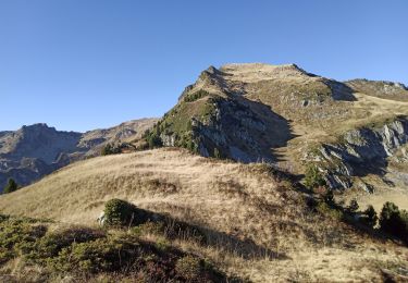
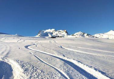
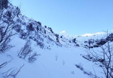
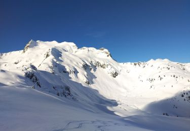
Trail Touring skiing La Léchère - pointe des Arangles - Photo
 nadd73
nadd73

User GUIDE

© OpenStreetMap contributors
Length
Length
12.9 km
Max alt
Max alt
2321 m
Uphill gradient
Uphill gradient
1196 m
Km-Effort
Km-Effort  
29 km
Min alt
Min alt
1124 m
Downhill gradient
Downhill gradient
1193 m
Boucle
Boucle
Yes
Creation date :
2021-01-10 08:13:55.412
Updated on :
2021-01-10 19:27:40.152

(0 Reviews)

Touring skiing
Touring skiing
5h30
Difficulty : Medium

Scan this QR Code to open this trail in the SityTrail application

FREE GPS app for hiking

Logo SityTrail SityTrail

IGN / Geographical institutes

Download SityTrail from the App Store Download SityTrail from Google Play

Logo SityTrail SityTrail World
The world is yours!

Download SityTrail from the App Store Download SityTrail from Google Play Download SityTrail on Huawei AppGallery

About

Trail Touring skiing of 12.9 km to be discovered at Auvergne-Rhône-Alpes, Savoy, La Léchère. This trail is proposed by nadd73.

Description

Départ de Bonneval direction le replat.
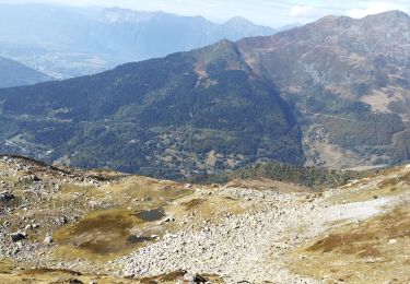
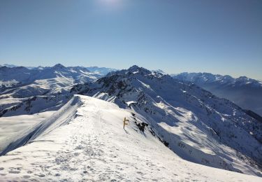
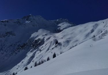
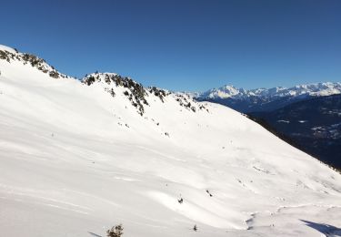
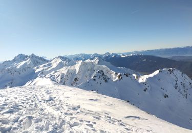
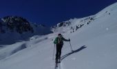
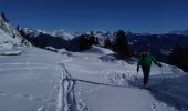
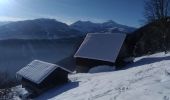
Belle randonnée agréable de monter dans la forêt avec quelques fenêtres pour la vue. Au sommet vue panoramique sur les marmottes noires,     Bellachat, Mont Blanc,...
Descente au plan du lay avec une petite remontée en escalier.

Elevation profile

Photos

Positioning

Country:
France
Region :
Auvergne-Rhône-Alpes
Department/Province :
Savoy
Municipality :
La Léchère
Location:
Bonneval
Start:(UTM)
300875 ; 5044075 (32T) N.

Trails nearby

Trail Walking La Léchère - pte de Glais rouge, des Arangles et Roche brisée  - Photo
Walking
GUIDE
nadd73

Walking

Difficult
La Léchère, Auvergne-Rhône-Alpes, Savoy, France
9.3 km | 21 km-effort
4h 20min
Yes
Trail Touring skiing La Léchère - tricotage vers Les Teurs. - Photo
Touring skiing
GUIDE
nadd73

Touring skiing

Easy
La Léchère, Auvergne-Rhône-Alpes, Savoy, France
13.1 km | 28 km-effort
4h 2min
Yes
Trail Touring skiing La Léchère - Les marmottes noires  - Photo
Touring skiing
GUIDE
nadd73

Touring skiing

Medium
La Léchère, Auvergne-Rhône-Alpes, Savoy, France
13.2 km | 28 km-effort
4h 50min
Yes
Trail Touring skiing La Léchère - le. chalet de Colomban  - Photo
Touring skiing
GUIDE
nadd73

Touring skiing

Easy
La Léchère, Auvergne-Rhône-Alpes, Savoy, France
10.1 km | 22 km-effort
2h 0min
No
Trail Walking La Léchère - les marmottes noires et Bellacha  - Photo
Walking
GUIDE
nadd73

Walking

Medium
La Léchère, Auvergne-Rhône-Alpes, Savoy, France
12.2 km | 27 km-effort
5h 25min
Yes
Trail Touring skiing La Léchère - M'ont Bellacha NE par le col de l'arc - Photo
Touring skiing
GUIDE
nadd73

Touring skiing

Difficult
La Léchère, Auvergne-Rhône-Alpes, Savoy, France
14.1 km | 35 km-effort
5h 32min
Yes
Trail Touring skiing La Léchère - la pointe de la combe bronsin - Photo
Touring skiing
GUIDE
nadd73

Touring skiing

Easy
La Léchère, Auvergne-Rhône-Alpes, Savoy, France
12.2 km | 30 km-effort
6h 25min
Yes
Trail Touring skiing La Léchère - Le pas de Freydon - Photo
Touring skiing
GUIDE
nadd73

Touring skiing

Medium
La Léchère, Auvergne-Rhône-Alpes, Savoy, France
13.6 km | 30 km-effort
4h 27min
Yes
Trail Touring skiing La Léchère - combe Bronsin  - Photo
Touring skiing
GUIDE
nadd73

Touring skiing

Medium
La Léchère, Auvergne-Rhône-Alpes, Savoy, France
13.4 km | 30 km-effort
4h 5min
Yes


Close
My subscriptions